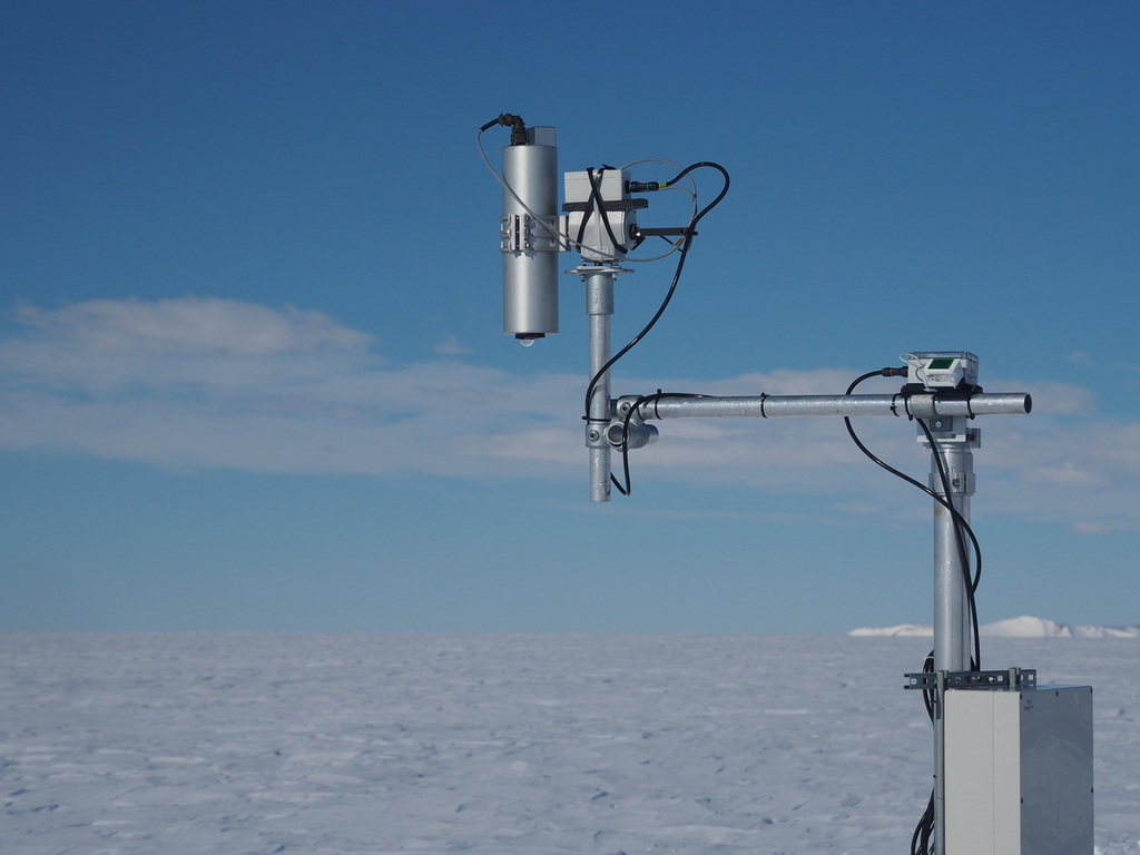
For the purpose of planning satellite acquisitions, e.g. during the Commissioning Phase or for regular cal/val, a list of current HYPERNETS validation sites can be found here HYPERNETS_VALIDATION_SITE_COORDINATES_2023-10-27_PUBLIC.csv
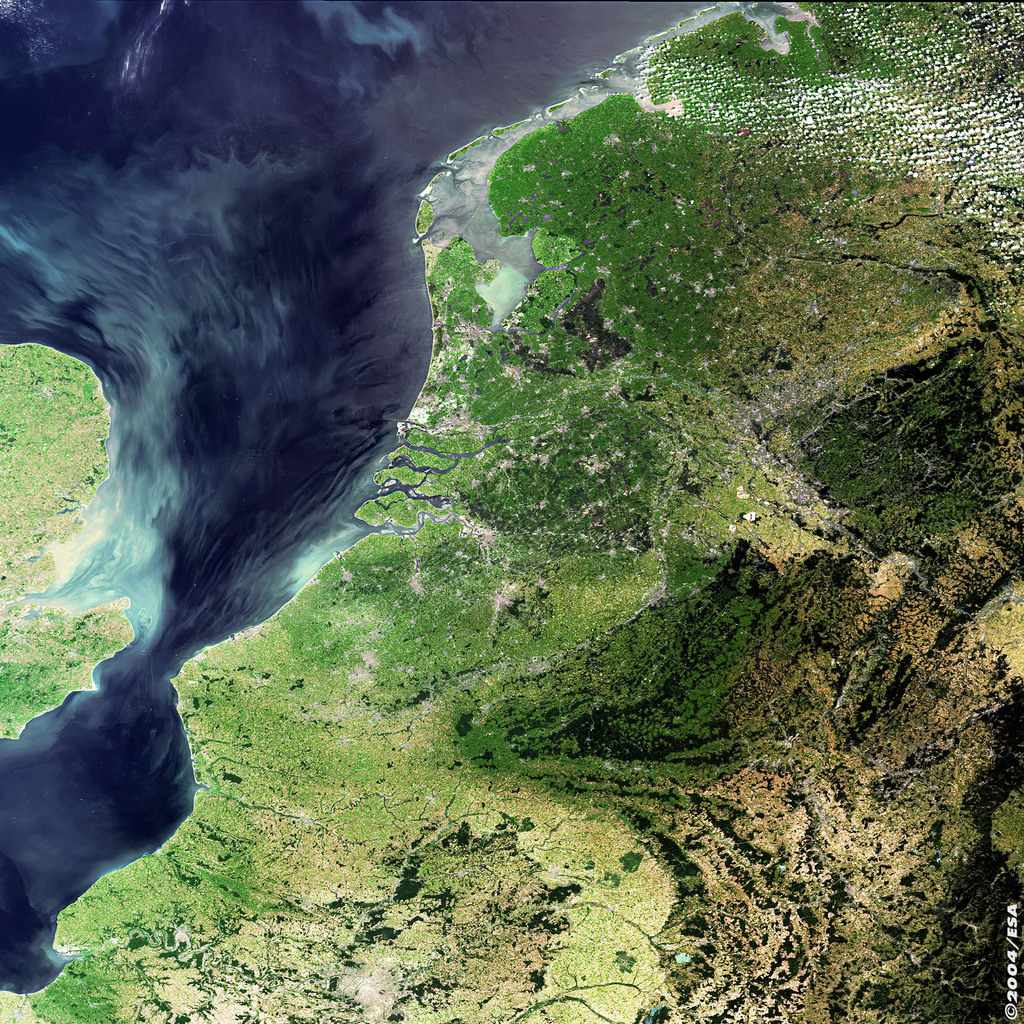
A 155.3 km2 lagoon on the Mediterranean coast of France
Coordinator: SU
Coordinates: 43°28'09.0"N 5°05'03.0"E
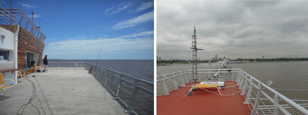
Fishermen pier in extremely turbid waters.
Coordinator: CONICET
Coordinates: 34.560865 S and 58.39881167 W.
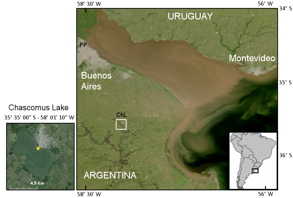
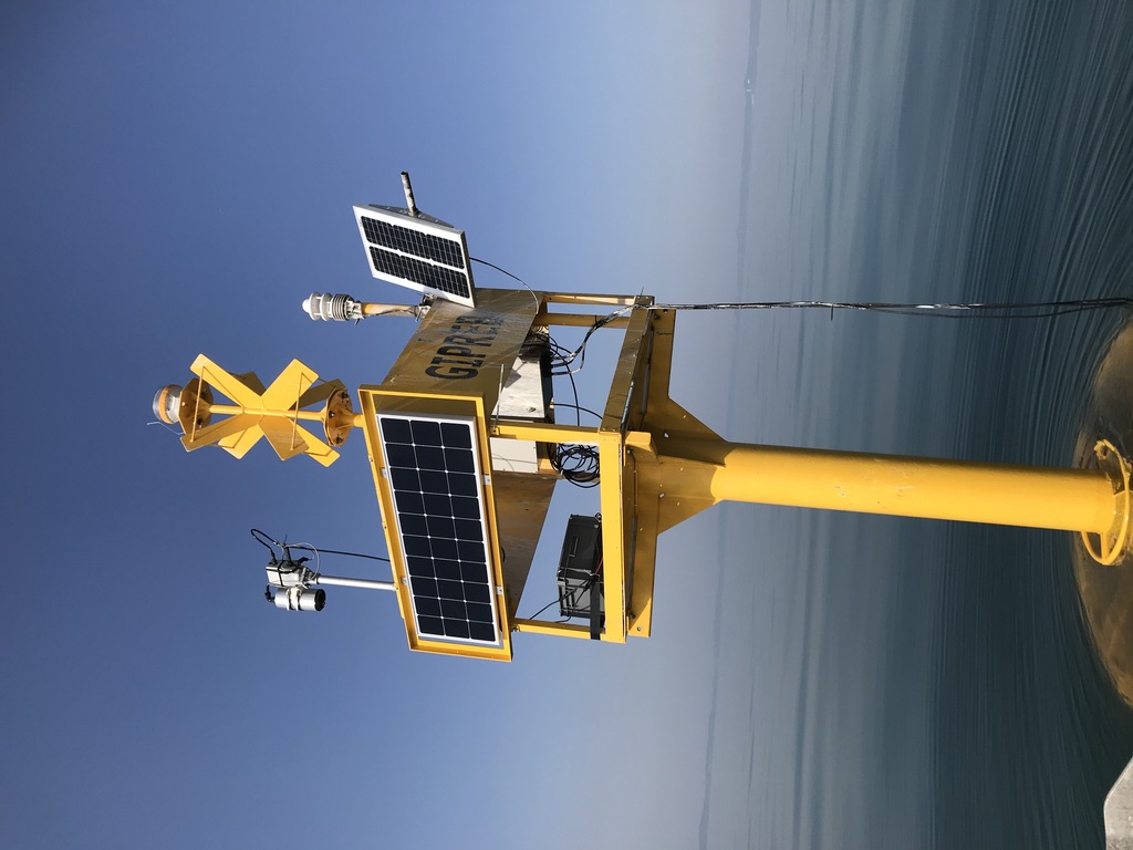
Shallow extremely turbid inland water site.
Coordinator: CONICET
Coordinates: 35.58281326 S and 58.02024078 W
Temperate open ocean oligotrophic water site.
Coordinator: CNR
Coordinates: 35.49344°N, 12.46773°E
Oligotrophic to mesotrophic inland water in a subalpine ecoregion.
Coordinator: CNR
Coordinates: 10.57944° E; 45.57694° N
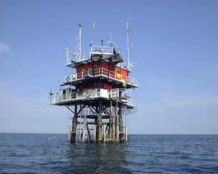
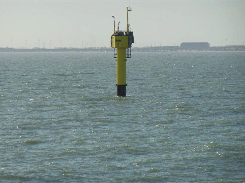
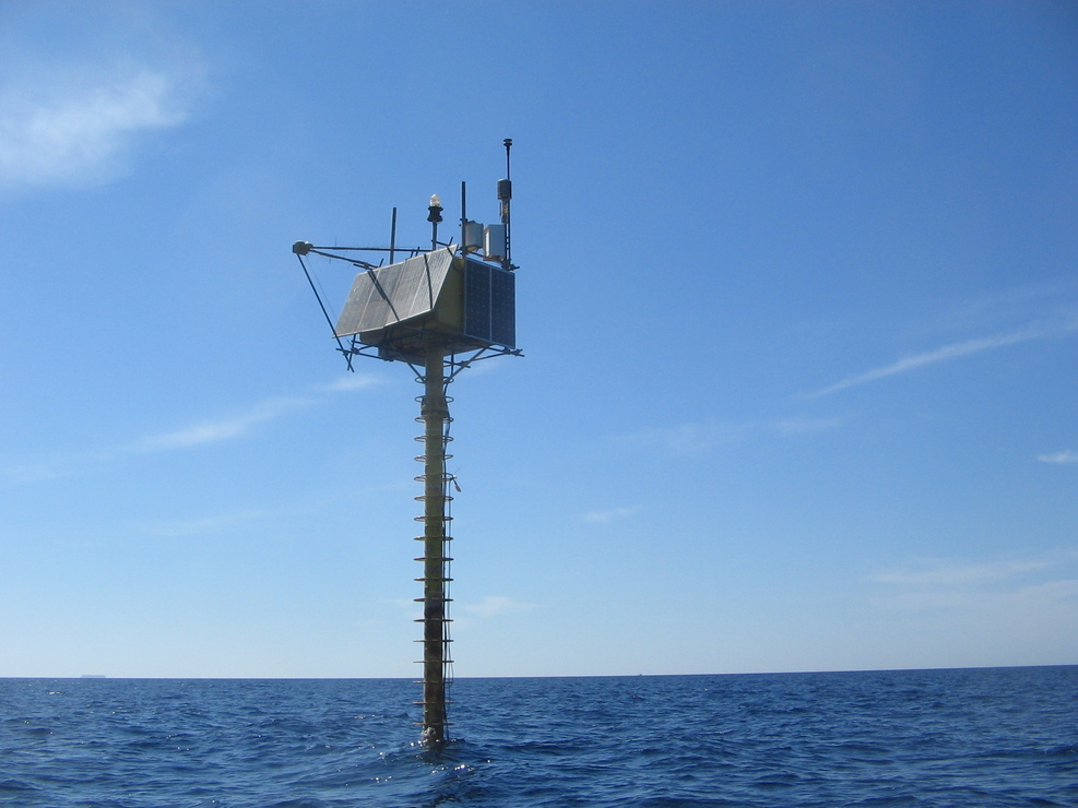
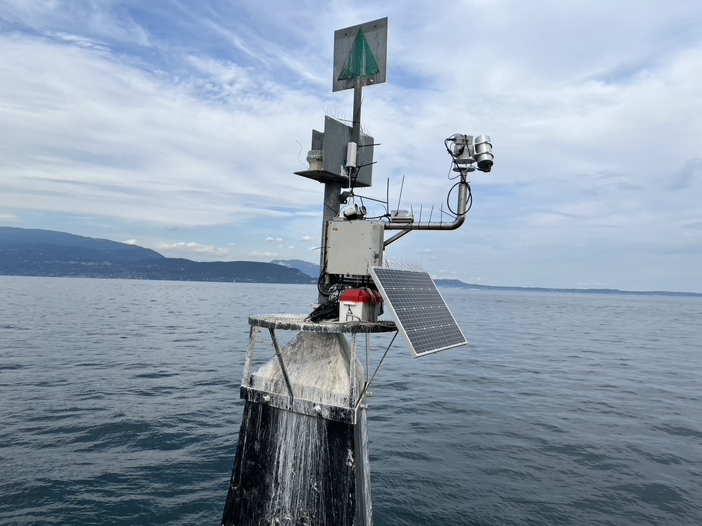
Oceanographic tower in the Adriatic Sea at 15 km from the coast of the Venice lagoon. Temperate offshore moderately turbid to clear water site.
Coordinator: CNR
Coordinates: 45° 18' 51.288" N and 12° 30' 29.694" E
Ancient semi-natural woodland owned by Oxford University.
Coordinator: NPL
Coordinates: 51.7750289173173° N and 1.33906077914727° W
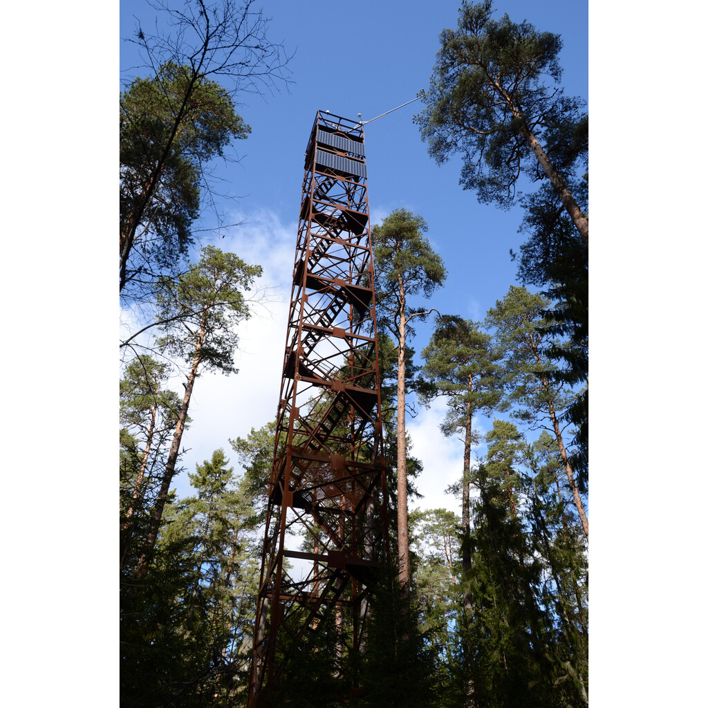
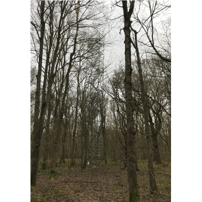
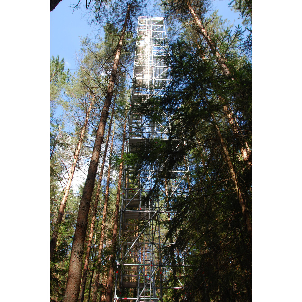
Mature Scots pine forest.
Coordinator: TARTU
Coordinates: 58.02356° N and 26.07073° E
Mature hemiboreal forest.
Coordinator: TARTU
Coordinates: 58.27798° N and 27.30885° E
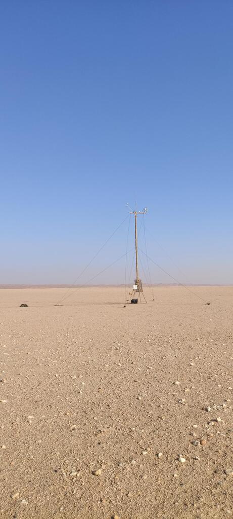
AERONET site on a desert gravel plain 10 km from Gobabeb Research and Training Centre with ~0 mm annual rainfall.
Coordinator: NPL
Coordinates: 23.600201° S, 15.119556° E
Multi-site tests for rapid deployment/campaign in the UK and EU. Various types: Heathland, Heather, Crop.
Coordinator: NPL
Coordinates: To be defined (United Kingdom)
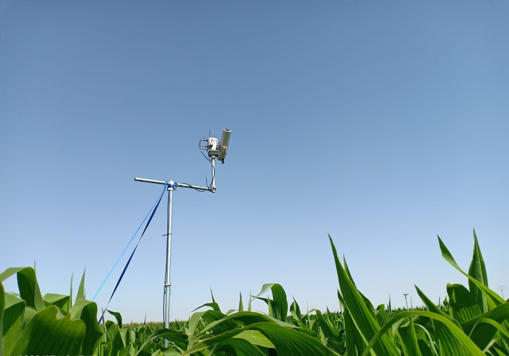
Picture: Deployment of the HYPSTAR&Reg at Barrax – Las Tiesas experimental farm in July 2022
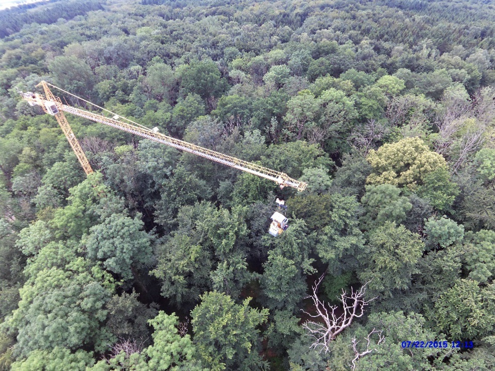
Temperate large research site (30 to 30 km²) from the Environmental Monitoring Network in Germany.
Coordinator: GFZ
Coordinates: 53,96°N and 13,13°E
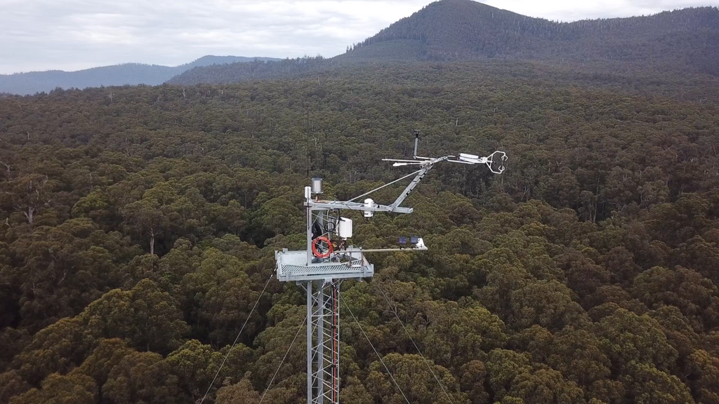
Australian forest site in Tasmania and part of OzFlux
Coordinator: NPL
Coordinates: 43°05'42.0"S 146°39'16.2"
Image courtesy of Dr Tim Wardlaw (University of Tasmania)